
Astronomy
Astronomy Research Associate
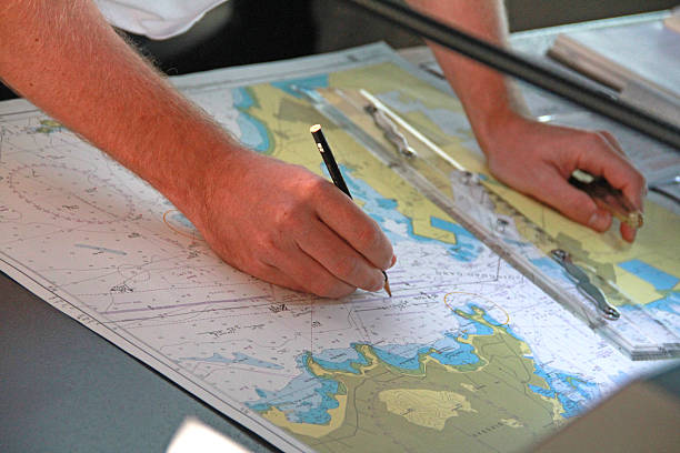
Explore CareerA Cartographer is a professional who designs, creates, and interprets maps to represent geographical, environmental, or cultural data, using scientific, artistic, and technological skills. They work in government agencies, private mapping firms, environmental organizations, or technology companies, collaborating with geographers, surveyors, and data scientists. Cartographers play a crucial role in urban planning, disaster management, navigation, and resource exploration by providing accurate spatial information in a field driven by precision, innovation, and digital transformation.

A Cartographer is a professional who designs, creates, and interprets maps to represent geographical, environmental, or cultural data, using scientific, artistic, and technological skills. They work in government agencies, private mapping firms, environmental organizations, or technology companies, collaborating with geographers, surveyors, and data scientists. Cartographers play a crucial role in urban planning, disaster management, navigation, and resource exploration by providing accurate spatial information in a field driven by precision, innovation, and digital transformation.
Cartographers are detail-oriented and tech-savvy professionals who work in office environments, field settings, or remote sensing labs, using tools such as Geographic Information Systems (GIS), remote sensing software, and drones. Their role involves collecting spatial data, designing maps for various purposes like navigation or climate analysis, and addressing challenges such as data accuracy or evolving user needs. They combine expertise in geography, computer science, and design to visualize complex spatial relationships. As key contributors to planning and decision-making, they help shape the future of infrastructure, environmental conservation, and public safety in an industry increasingly driven by digital mapping, big data, and geospatial technologies.

Mid-level professionals who specialize in using GIS software to analyze and visualize spatial data, often supporting cartographic projects. They...
0.0LPA

Professionals who lead independent mapping projects, applying cartographic principles to create detailed and accurate maps for specific purposes...
0.0LPA
Experienced leaders who oversee complex cartographic projects, managing teams and resources across multiple mapping initiatives or regions. They...
0.0LPA
Take the next step and explore more about Cartography.
Explore similar career paths that might interest you